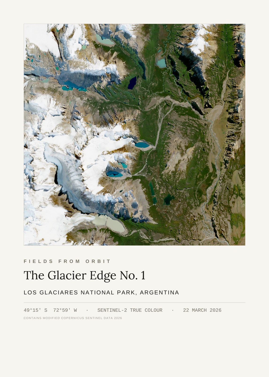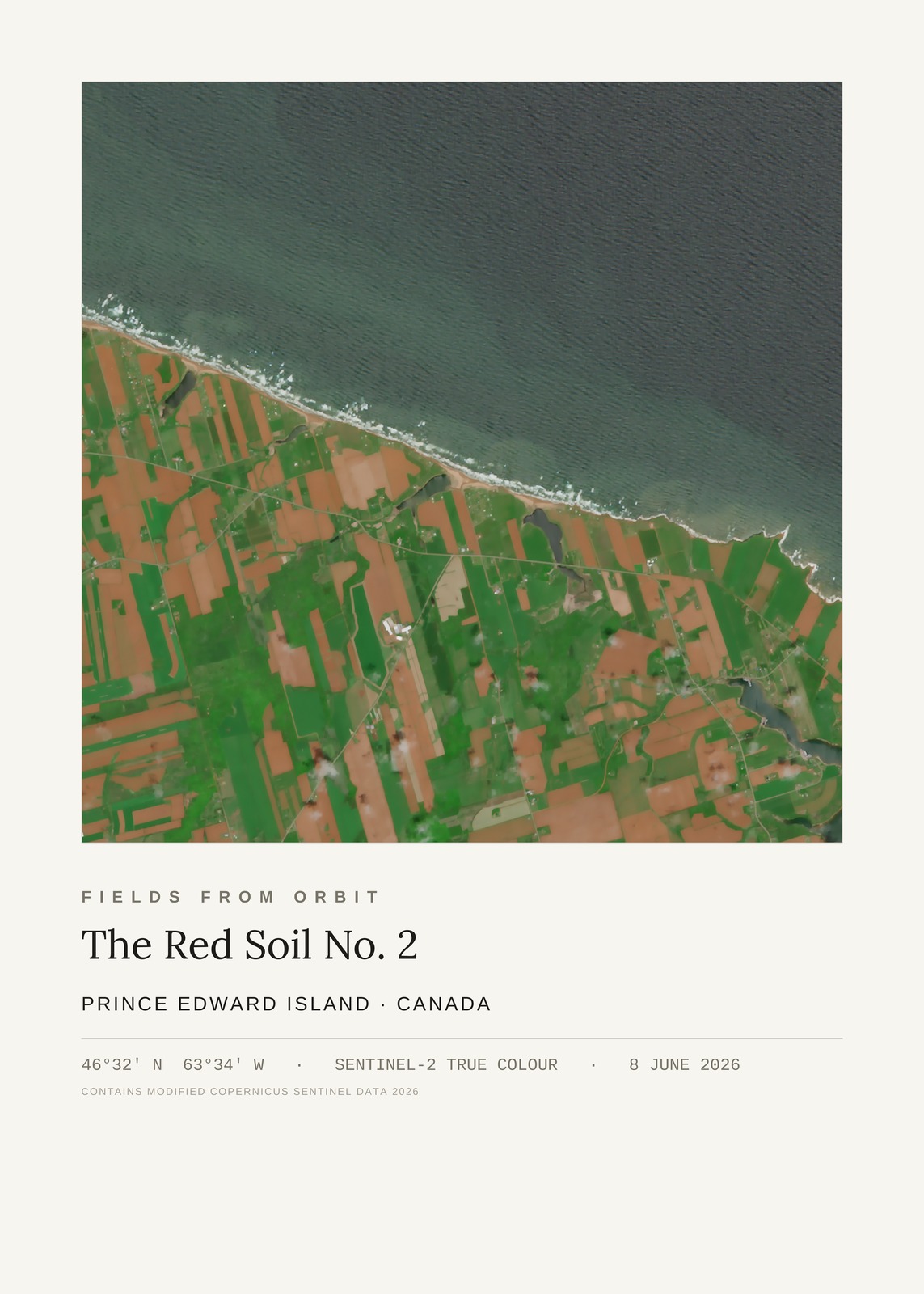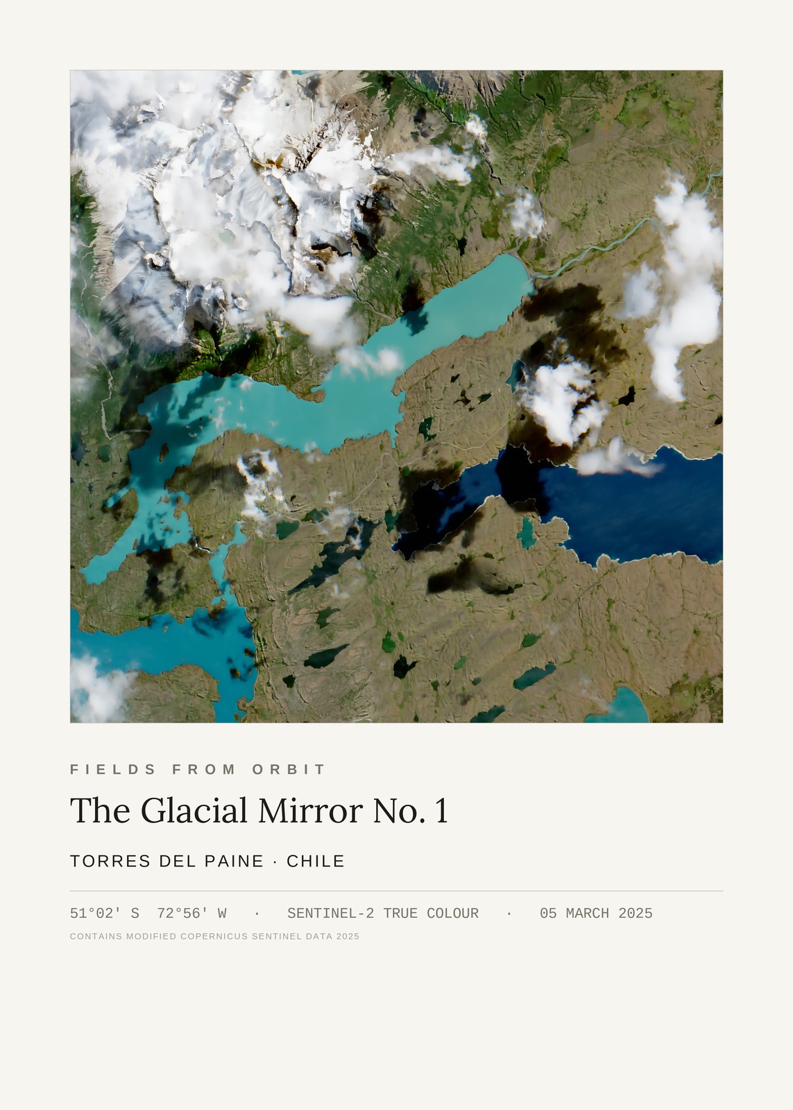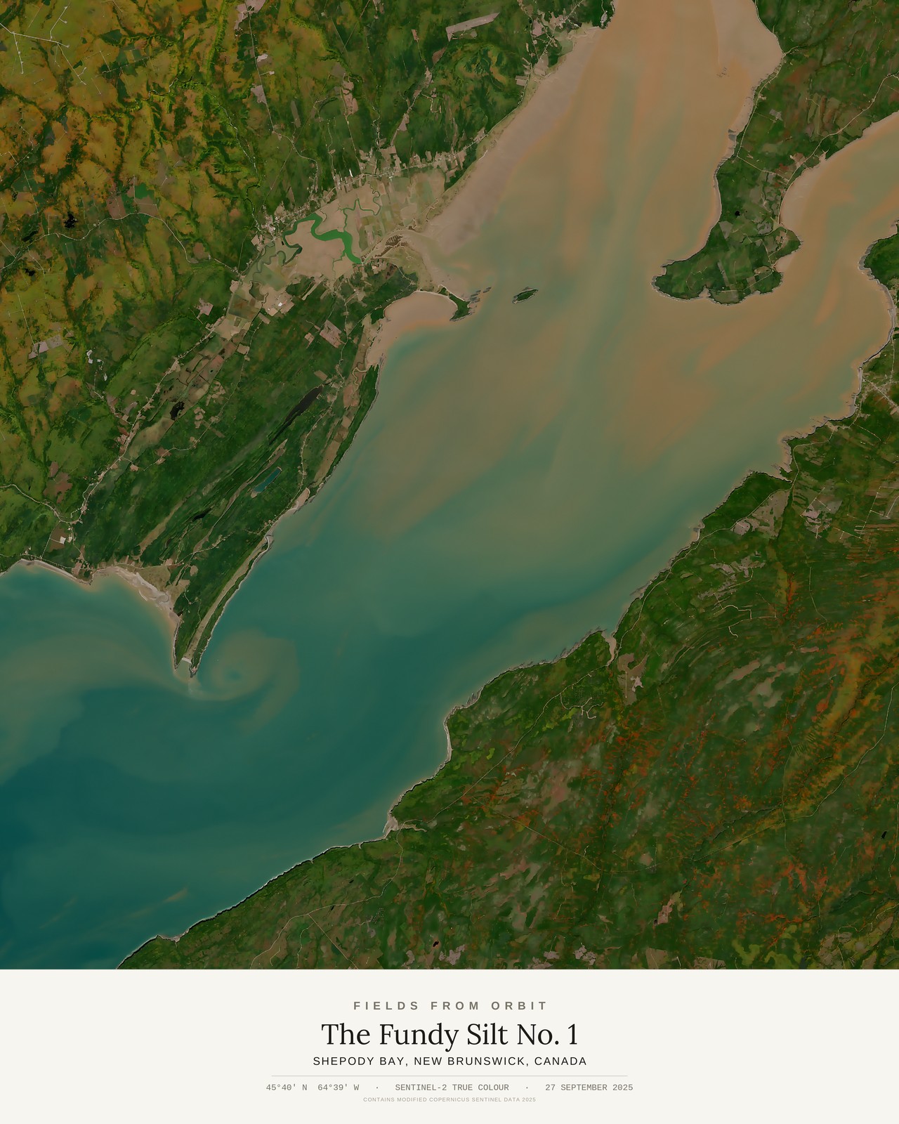
Every purchase — digital or print — ships with the museum label shown here (place, coordinates, capture date).
Tap or click the image to zoom · pinch to zoom on mobile
The Fundy Silt No. 1
Shepody Bay, New Brunswick, Canada
45.6584, -64.6539 · Captured 2025-09-27
Secure checkout via Stripe·Visa · Mastercard · Amex · Apple Pay
Digital download delivered instantly by email after checkout — JPEG, 4800×6000px, 300 DPI. Canvas prints ship to Canada & the US, about 5–10 business days after a short production window — shipping is calculated at checkout. Full file specs & Size Guide
On 27 September 2025, the Sentinel-2 satellite looked down on Shepody Bay, an arm of the upper Bay of Fundy in New Brunswick, famous for having some of the highest tides on Earth. A tan plume of stirred-up sediment spreads across the bay's turquoise water, curling into a tidal eddy off a wooded point, while a small settlement and a looping marsh creek sit tucked in the corner of frame.