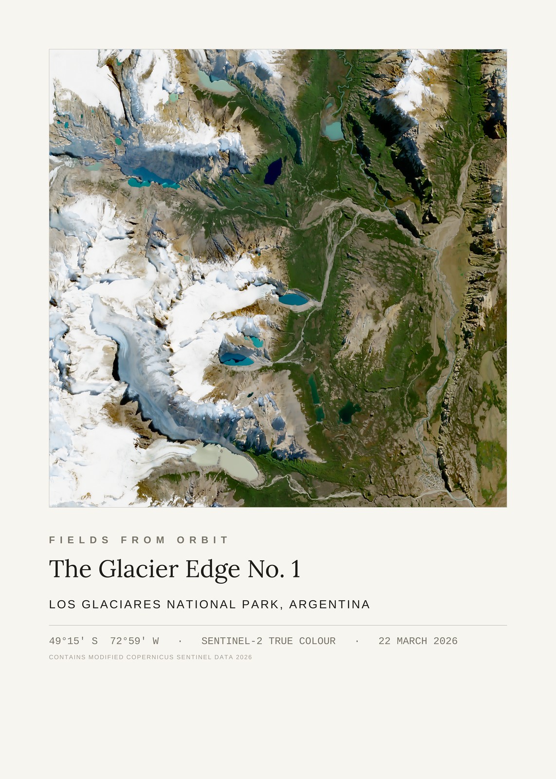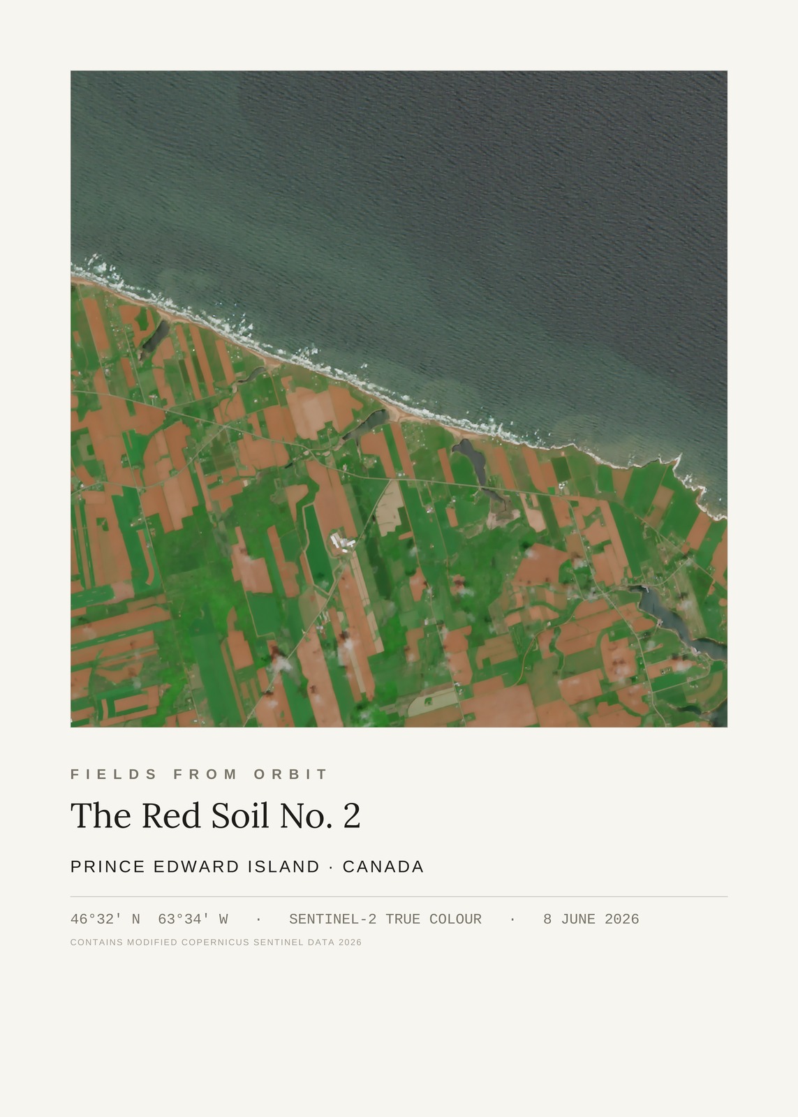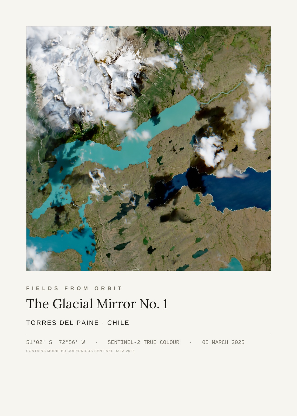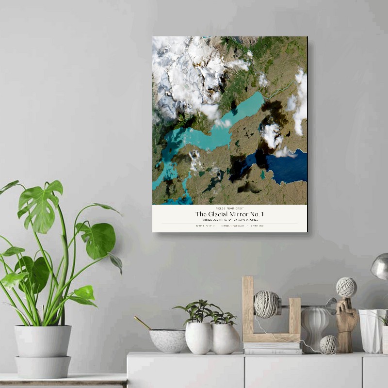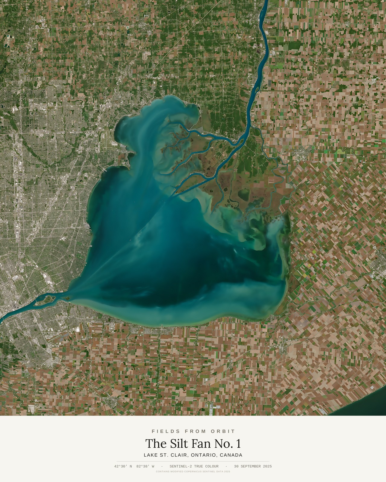
Every purchase — digital or print — ships with the museum label shown here (place, coordinates, capture date).
Tap or click the image to zoom · pinch to zoom on mobile
The Silt Fan No. 1
Lake St. Clair, Ontario, Canada
42.4995, -82.6378 · Captured 2025-09-30
What’s in the download
- The file. Delivered instantly by email after checkout — lossless PNG print master, 4800×6000px, 300 DPI. Full file specs & Size Guide
- Found, not just downloaded. Each piece is chosen from millions of possible satellite captures. Only the few that clear a very high bar make it onto the site.
- Chosen and composed. The date, the season and the crop are picked for this one place, so it reads as a finished poster and not a raw tile.
- Finished for print. Enhanced and sized for 16×20, with the museum label (place, coordinates, capture date) built in.
- Ready to hang. One file, delivered instantly by email, and you can print it anywhere.
More details on canvas prints
- The canvas. 16×20 in (40.6×50.8 cm), gallery-wrapped, 3/4 in deep, with solid black sides. Hanging hardware is included, so it’s ready to hang straight out of the box. See it on a wall
- The museum label. Title, place, coordinates and capture date are printed on the canvas itself, exactly as pictured on this page.
- Made to order. Your canvas is printed after you check out and typically arrives 5–10 business days after a short production window.
- Shipping. Canada & the US, $19.99 (CAD), calculated at checkout. Full specs & Size Guide
Secure checkout via Stripe·Visa · Mastercard · Amex · Apple Pay
Canvas prints ship to Canada & the US, about 5–10 business days after a short production window — shipping is calculated at checkout. Full file specs & Size Guide
On 30 September 2025, the Sentinel-2 satellite looked down on Lake St. Clair, the small freshwater lake wedged between Lake Huron and Lake Erie, where the St. Clair River empties out of the north. Its current threads through the braided channels of the St. Clair Flats delta before dissolving into the lake itself, a sediment plume unfurling across the water in bands of teal, jade, and deep navy — Detroit's street grid on the western shore, Ontario's farmland squared off to the east, the US/Canada border running straight down the middle of the lake, invisible from orbit.