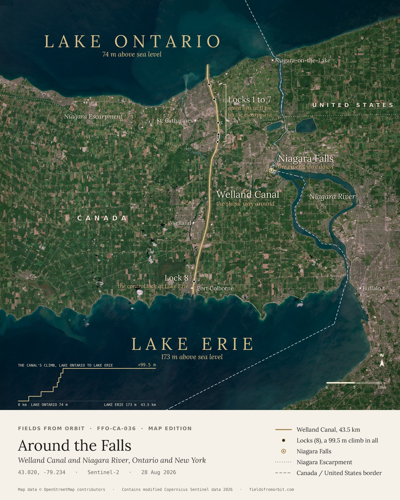
Every purchase — digital or print — ships with the museum label shown here (place, coordinates, capture date).
Tap or click the image to zoom · pinch to zoom on mobile
Around the Falls
Welland Canal and Niagara River, Ontario and New York
43.02, -79.23 · Captured 2026-08-28
Thanks — your download is ready.
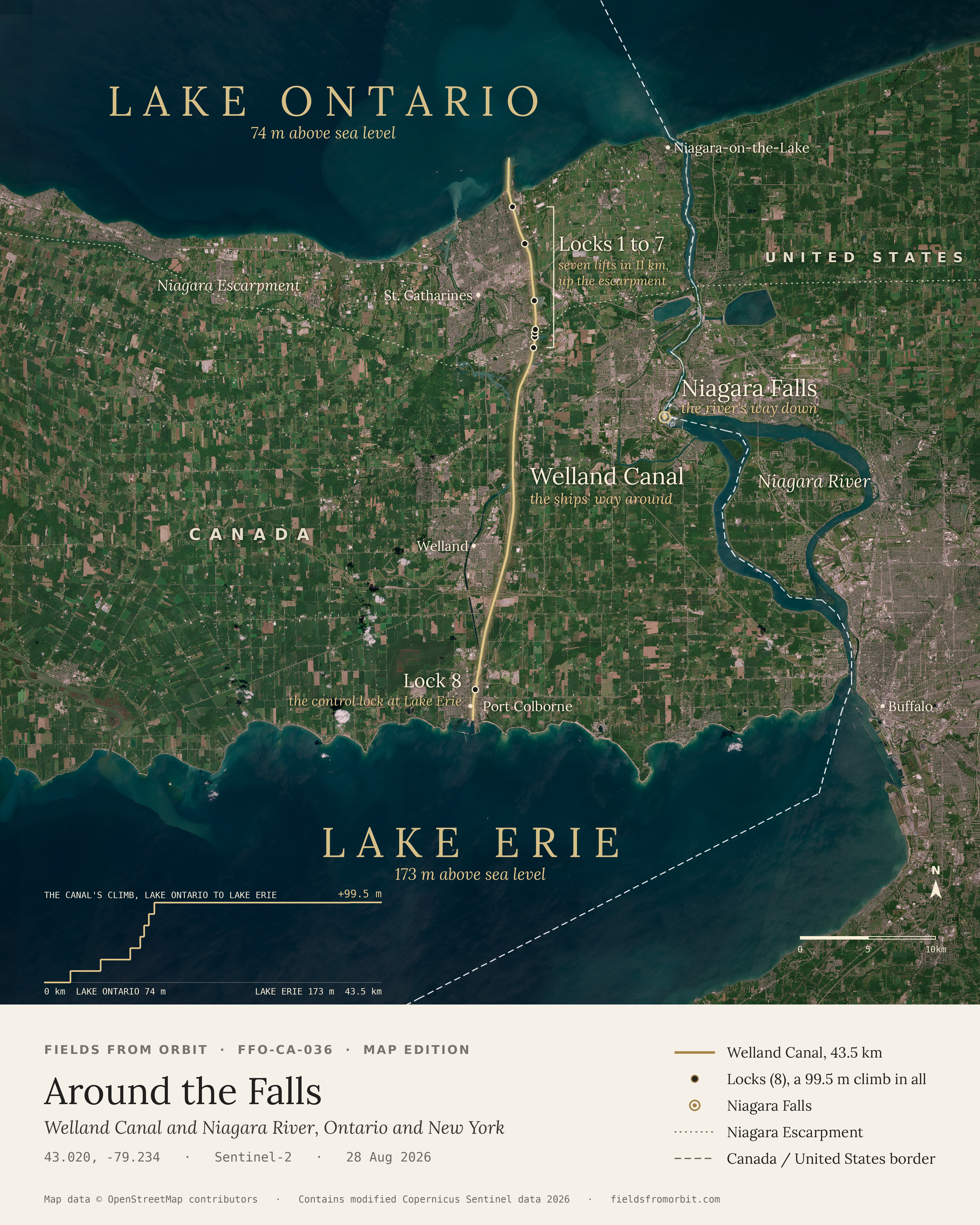
Download Around the Falls (full resolution)
Tip: you can also right-click the image above (press and hold on mobile) and choose “Save Image As…” to save it directly.
More details on canvas prints
- The canvas. 16×20 in (40.6×50.8 cm), gallery-wrapped, 1.5 in deep, with solid black sides. Hanging hardware is included, so it’s ready to hang straight out of the box. See it on a wall
- The museum label. Title, place, coordinates and capture date are printed on the canvas itself, exactly as pictured on this page.
- Made to order. Your canvas is printed after you check out and typically arrives 5–10 business days after a short production window.
- Shipping. Canada & the US, $19.99 (CAD), calculated at checkout. Full specs & Size Guide
Digital download unlocks right here on this page as soon as you join the list — JPEG, 4800×6000px, 300 DPI. Canvas prints ship to Canada & the US, about 5–10 business days after a short production window — shipping is calculated at checkout. Full file specs & Size Guide
On 28 August 2026, Sentinel-2 looked down on the Niagara Peninsula, where Lake Erie sits 99.5 metres above Lake Ontario. The Niagara River makes that drop by going over Niagara Falls. Ships can't, so the Welland Canal carries them 43.5 km around the Falls, climbing the Niagara Escarpment through seven locks at St. Catharines and Thorold, with an eighth, the control lock, at Port Colborne on Lake Erie. This map edition draws the canal, its eight locks and the Falls in gold over the satellite image.