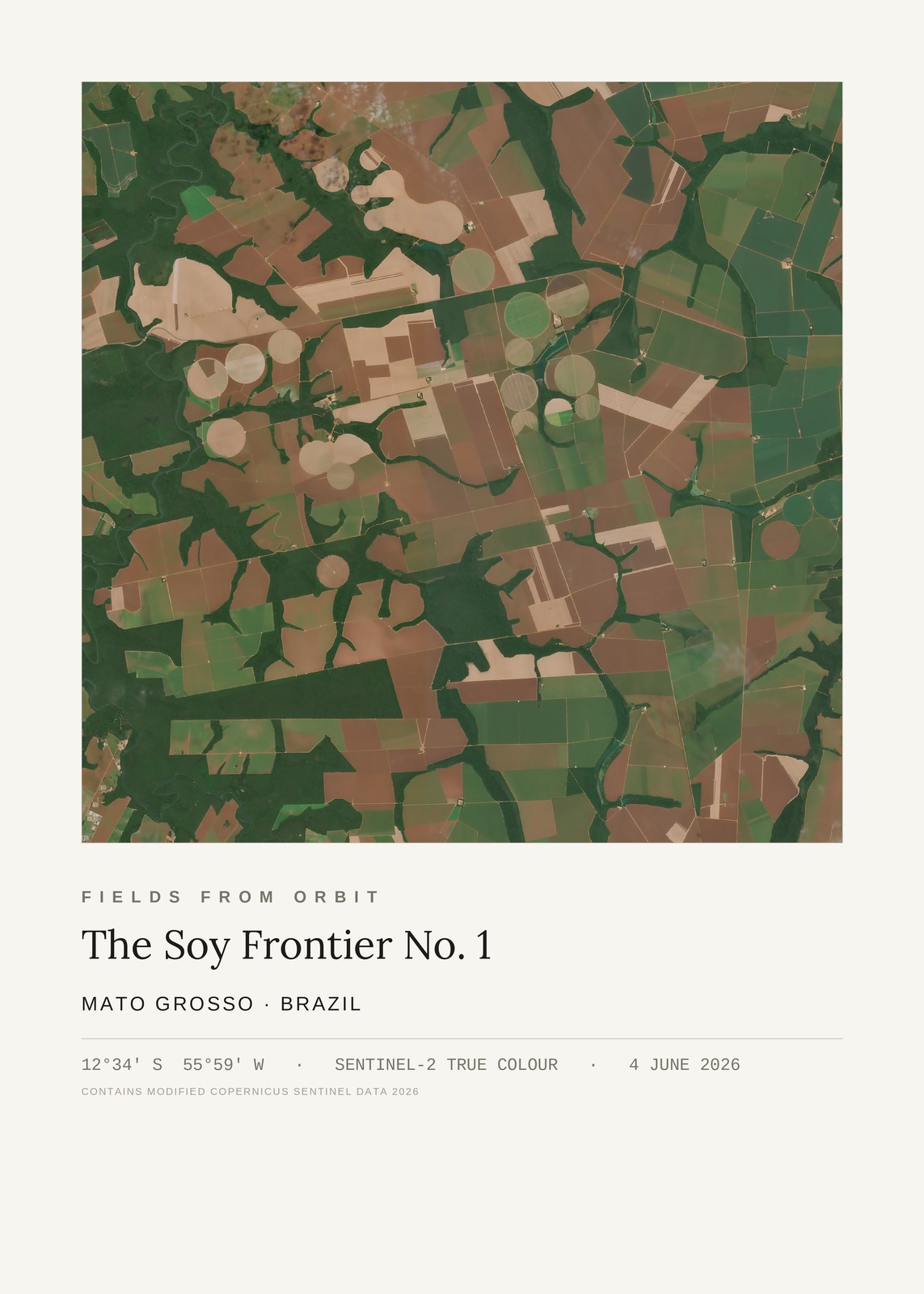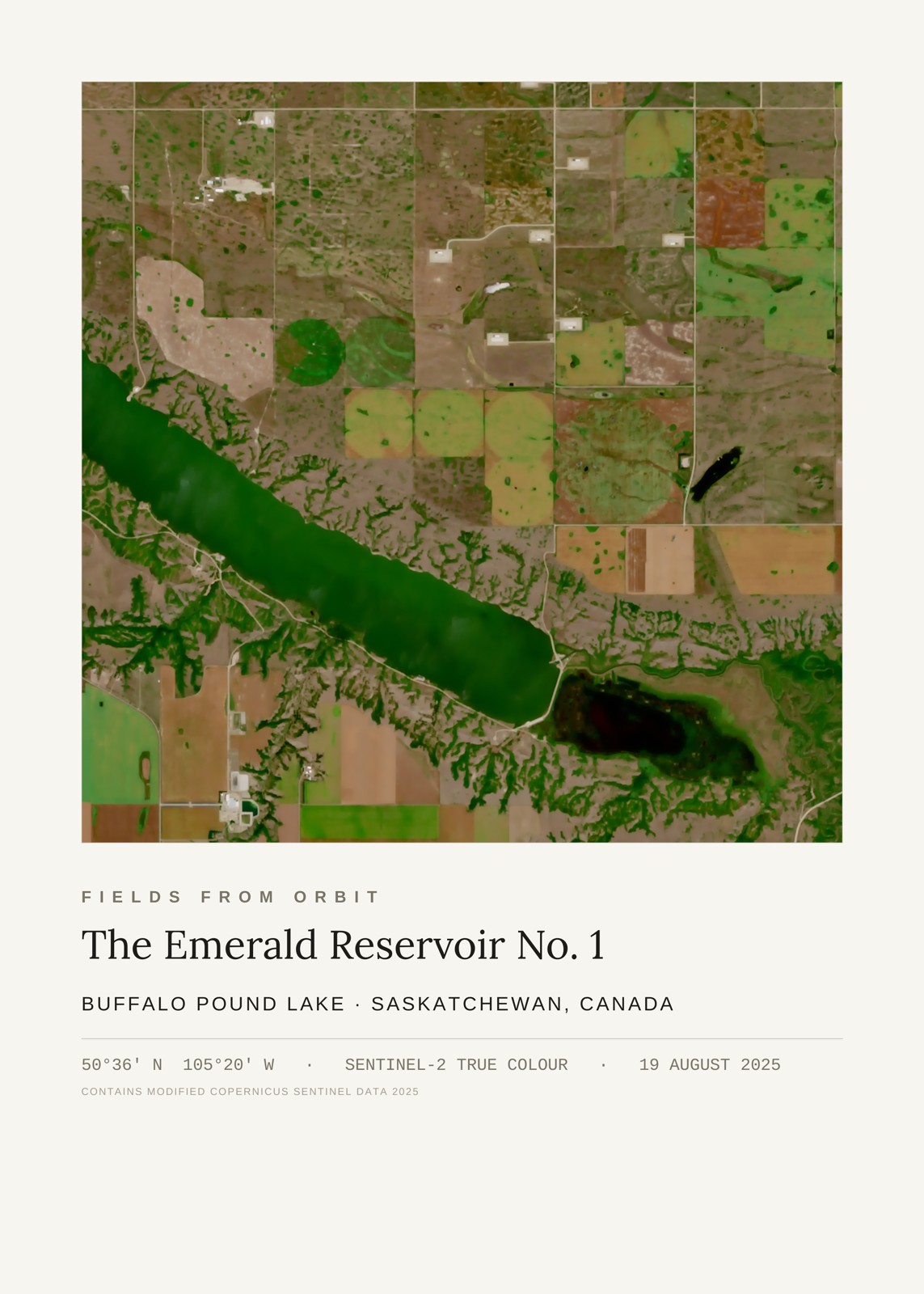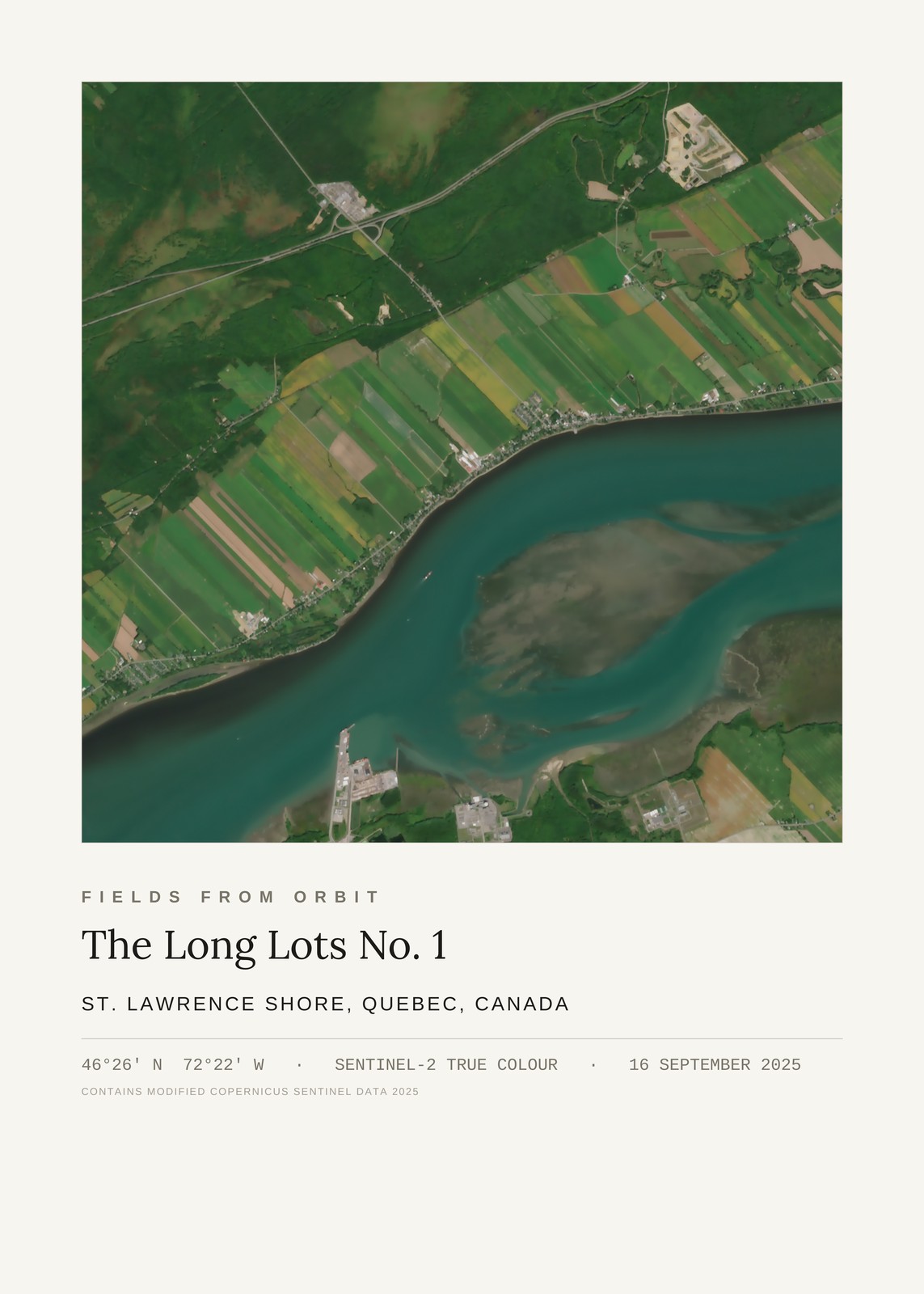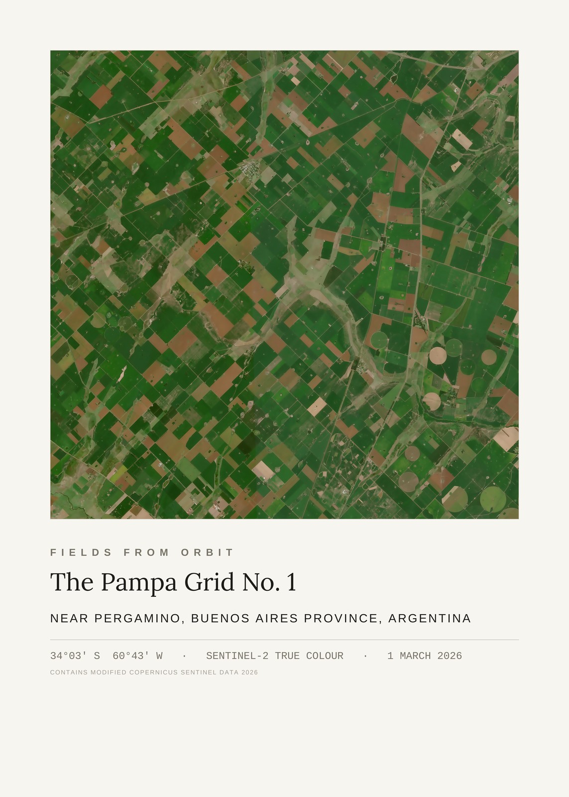
Every purchase — digital or print — ships with the museum label shown here (place, coordinates, capture date).
Tap or click the image to zoom · pinch to zoom on mobile
The Pampa Grid No. 1
Near Pergamino, Buenos Aires Province, Argentina
-34.05, -60.71 · Captured 2026-03-01
Secure checkout via Stripe·Visa · Mastercard · Amex · Apple Pay
Digital download delivered instantly by email after checkout — JPEG, 4800×6000px, 300 DPI. Canvas prints ship to Canada & the US, about 5–10 business days after a short production window — shipping is calculated at checkout. Full file specs & Size Guide
On 1 March 2026, the Sentinel-2 satellite looked down on the humid pampa near Pergamino, Argentina — a dense grid of green and brown fields threaded by a pale winding stream, with center-pivot circles breaking the rectangular geometry along the frame's edge, classic South American cropland at the height of summer.