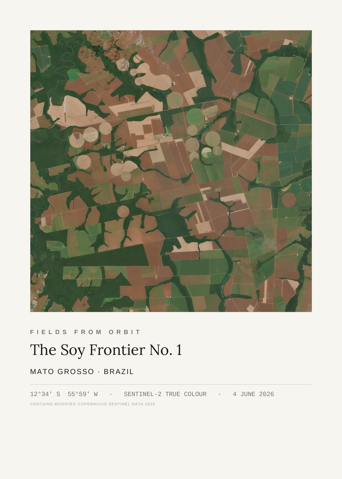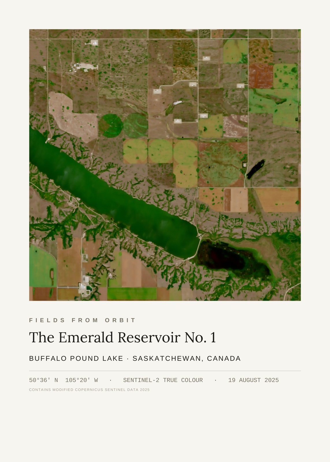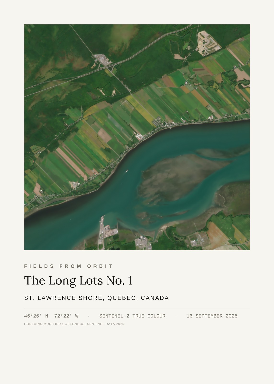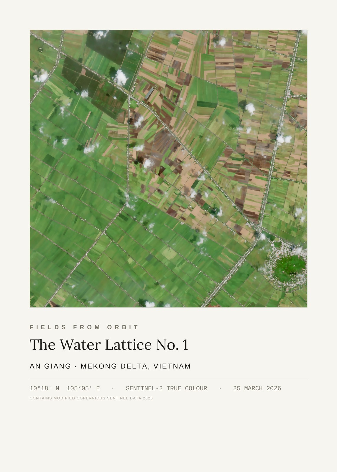
Every purchase — digital or print — ships with the museum label shown here (place, coordinates, capture date).
Tap or click the image to zoom · pinch to zoom on mobile
The Water Lattice No. 1
An Giang, Mekong Delta, Vietnam
10.30, 105.09 · Captured 2026-03-25
Secure checkout via Stripe·Visa · Mastercard · Amex · Apple Pay
Digital download delivered instantly by email after checkout — JPEG, 4800×6000px, 300 DPI. Canvas prints ship to Canada & the US, about 5–10 business days after a short production window — shipping is calculated at checkout. Full file specs & Size Guide
On 25 March 2026, the Sentinel-2 satellite passed over An Giang province in Vietnam's Mekong Delta and caught the rice country in its full lattice: long, thin paddies stacked side by side and threaded by a web of canals, each waterway lined with the silver glint of homes and roads strung out along the banks.
This is one of the most productive farmed landscapes on the planet, and it is organised entirely around water — every field reachable by boat, every plot a narrow ribbon running back from a channel. The greens shift field by field with the planting calendar, from just-flooded and bare to deep paddy green, so the whole delta reads like woven cloth. A few small clouds drift across the frame, their shadows part of the record of that exact morning.