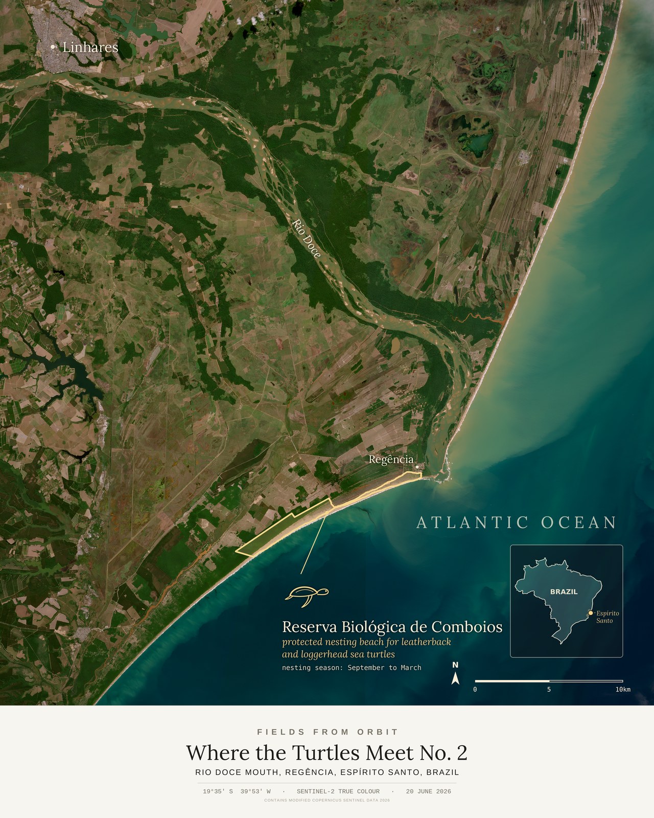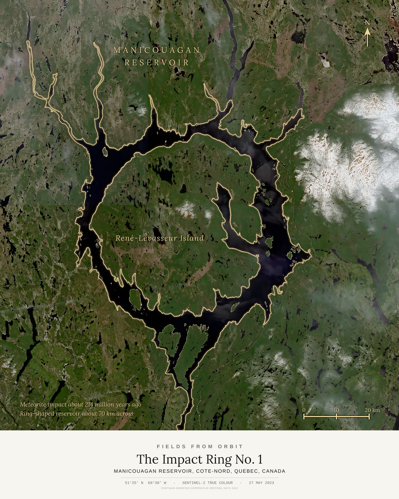
Every purchase — digital or print — ships with the museum label shown here (place, coordinates, capture date).
Tap or click the image to zoom · pinch to zoom on mobile
The Impact Ring No. 1
Manicouagan Reservoir, Cote-Nord, Quebec, Canada
51.4210, -68.6316 · Captured 2023-05-27
Thanks — your download is ready.
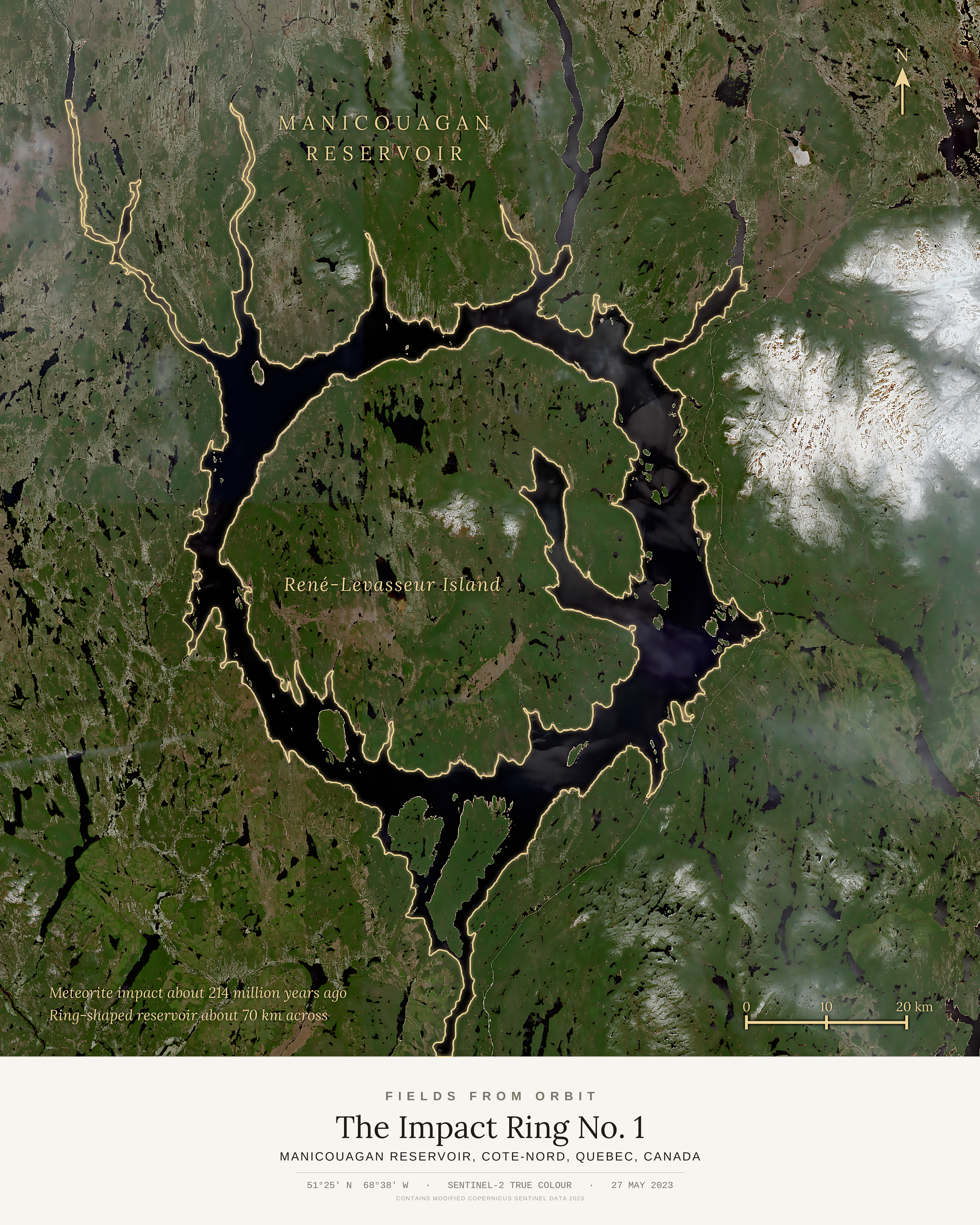
Download The Impact Ring No. 1 (full resolution)
Tip: you can also right-click the image above (press and hold on mobile) and choose “Save Image As…” to save it directly.
More details on canvas prints
- The canvas. 16×20 in (40.6×50.8 cm), gallery-wrapped, 3/4 in deep, with solid black sides. Hanging hardware is included, so it’s ready to hang straight out of the box. See it on a wall
- The museum label. Title, place, coordinates and capture date are printed on the canvas itself, exactly as pictured on this page.
- Made to order. Your canvas is printed after you check out and typically arrives 5–10 business days after a short production window.
- Shipping. Canada & the US, $19.99 (CAD), calculated at checkout. Full specs & Size Guide
Digital download unlocks right here on this page as soon as you join the list — JPEG, 4800×6000px, 300 DPI. Canvas prints ship to Canada & the US, about 5–10 business days after a short production window — shipping is calculated at checkout. Full file specs & Size Guide
On 27 May 2023, Sentinel-2 looked down on the Manicouagan Reservoir in northern Quebec, a near-perfect ring of water about 70 kilometres across. It sits in the eroded remains of a crater left by a meteorite impact about 214 million years ago. The Daniel-Johnson Dam, completed in 1968, flooded the crater's ring-shaped trough and left René-Levasseur Island at the centre. The reservoir is sometimes called the Eye of Quebec. This map edition outlines the reservoir and the island in gold over the satellite image.